
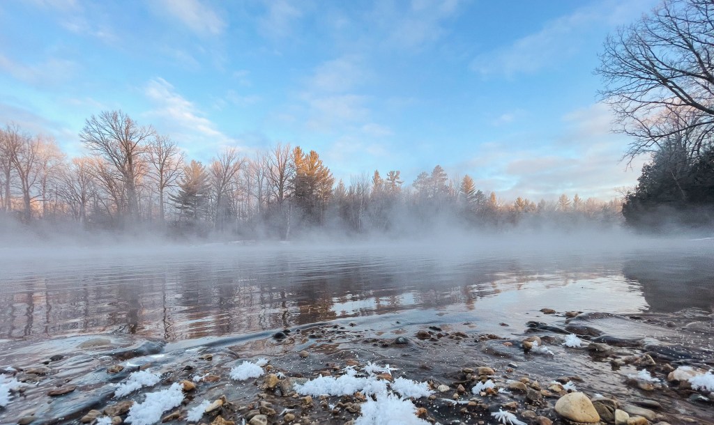
The AuSable River in Michigan, United States runs approximately 138 miles through the northern Lower Peninsula, through the towns of Grayling and Mio, and enters Lake Huron at AuSable.
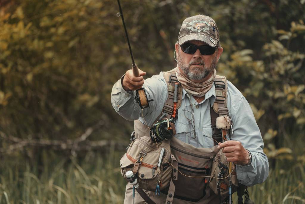
It is considered one of the best brown trout fisheries east of the Rockies and has been designated a blue-ribbon trout stream by the Michigan Department of Natural Resources. Below you will find charts cataloging the current river temperature, flow rate, and information on the numerous branches of the beautiful AuSable.
THE LANDSCAPE OF THE AUSABLE
The river flows south from its origin paralleling the Manistee River. After flowing “side-by-side” for approximately twelve miles, the Au Sable turns east and flows into Lake Huron while the Manistee turns southwest and flows into Lake Michigan.
THE MAIN BRANCH

Grayling to Wakeley Bridge
When the Au Sable turns, she gathers the flow of the East Branch at the town of Grayling. A few miles further east of Grayling the river flows past Burton’s Landing, which is the start of the fly fishing only, catch-and-release section also known as the “Holy Water.” This area extends for nearly nine miles downstream to Wakeley Bridge.
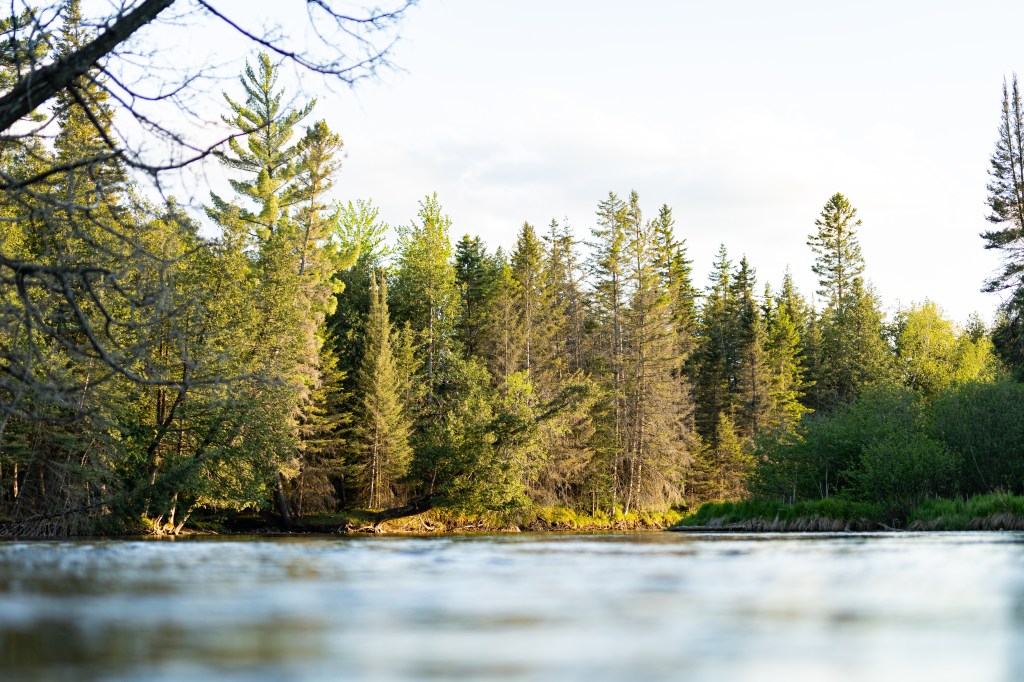
The bottom of this stretch the river consists mainly of sand and gravel, a perfect habitat. Beautiful trout filled pools, runs, and rifles litter this section of the river. This is a very productive and popular area, with a great diversity of water and fish- this region is not called the ‘Holy Water’ for nothing and brings in Fly Fishers from across the country.
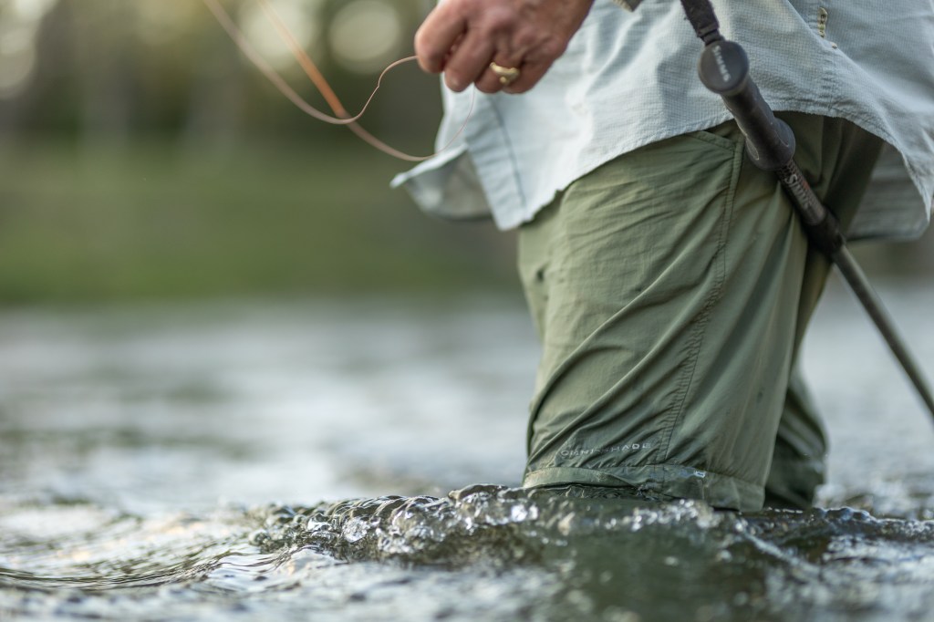
Several access points are available for anglers to wade or float from. Thendara Road and Stephan Bridge are just a couple of the many areas with great access to her bounty. The water is fairly large but easy to navigate and wade.
Wakely Bridge to Mio Pond
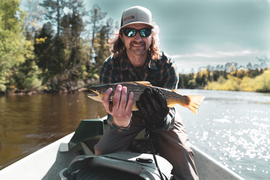
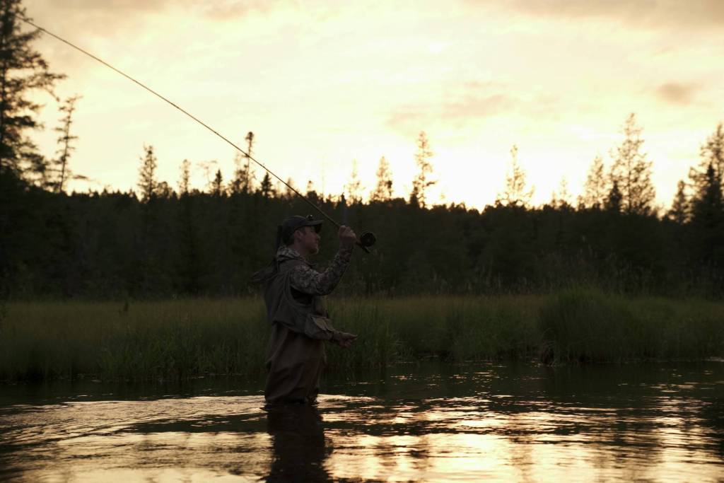
The water from Wakeley Bridge to Mio Pond easily equals the quality of the water from Grayling to Wakeley Bridge. The water is larger and has more deep pools and runs for large trout to hide. Wading here can be difficult in some areas and caution needs to be taken. Prolific fly hatches exist here and throughout the rest of the river. Hexagenia Limbata also known as “Michigan Caddis” are a very famous and large mayfly that are rife throughout this area. Large brown trout – 20+ inches! – are found feeding on this mayfly and are occasionally caught during this time. Many well-seasoned Fly Fishermen will often be seen sneaking around the river during this hatch looking for that trophy brown. Some of the good access points to the river in this area are found at The Whirlpool off of Cherry Creek Road and at Parmalee Bridge.
Mio to McKinley Bridge
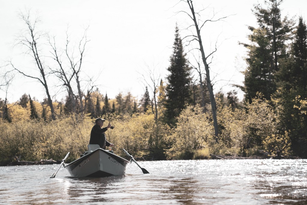
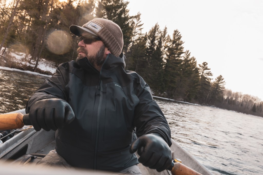
From the Mio Dam to McKinley Bridge, the river harbors an abundance of trophy-sized trout. Large brown and rainbow trout are in plentiful numbers here. Like the upper areas of the river, quality fly hatches make it a wonderful stretch. The water is deep and strong in many areas. Wading is a challenge, although it can be accomplished in certain areas. A boat is the best way to cover and fish in this section of the water. Hiring a guide will ensure the most potential out of this tremendous section of the river. A few good access points are located at Perry Creek, Comins Flats, and McKinley Bridge, but there are dozens of public boat launches along this section of the river!
BOOK YOUR NEXT FISHING ADVENTURE WITH US!
Book your next fishing trip with our experienced guides to get the benefit of our knowledge of the river the next time you go fishing! Even if you don’t need a guided tour, our store is stocked with all of the fly fishing supplies you could need to make your time out on the river enjoyable and a success!
225 W. Sixth Street, Mio. MI. 48646
(989) 826-6900
Located inside of AuSable River Outfitters.
